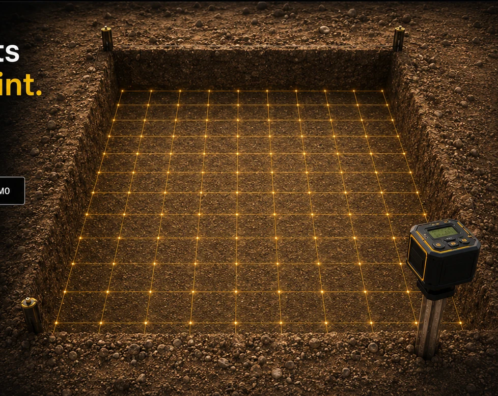
Precision Grid Setup
Create accurate capture grids in seconds.
FIELD DOCUMENTATION SYSTEM
TheStake™ is the all-in-one excavation positioning and data-capture system - built for accuracy, durability, and speed.
Strongly attaches to our anti-rotation stake.
Built to handle the most demanding conditions.
Measure, capture, and record in one compact device.
Seamless sync with the TheStake™ App.
BUILT FOR THE FIELD
TheStake establishes the grid, records every corner, captures each excavation level, and keeps images, LiDAR scans, coordinates, and environmental data tied to a defensible project record.
See the complete workflow