HOW IT WORKS - STEP BY STEP
HOW IT WORKS - STEP 3
3. Capture Data
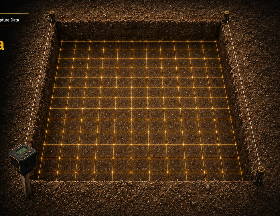
As excavation progresses, press CAPTURE every 10 cm to document progress with imagery and LiDAR.
Capture Every 10 cm
At each level, capture image and LiDAR data to document excavation progress.
Timed Auto-Capture
Schedule automatic captures every 15, 30, or 60 minutes.
Choose Your Data
Capture image, LiDAR, or both for the project record.